
Deskripsi
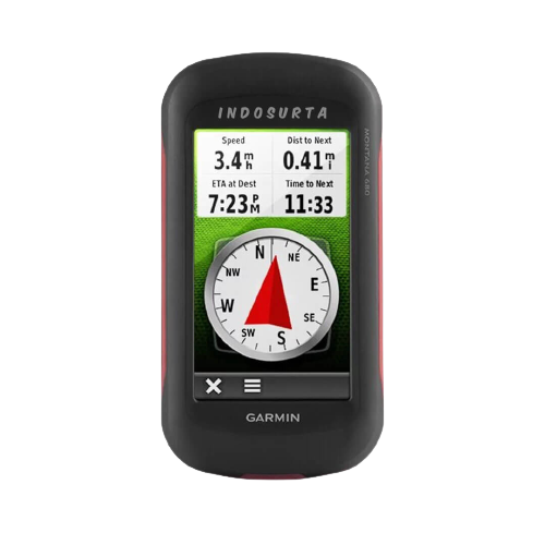
GPS Map Garmin Oregon 650 kini telah hadir untuk teman perjalanan anda yang pintar dan juga tangguh. Karena alat ini mampu menunjukan serta memberi informasi rute yang dilewati.
Kemudian alat ini memiliki sertifikat IPX7 yang tahan terhadap air sehingga anda tak perlu takut dengan keadaan dilapangan pada saat berjelajah. Lalu baterai nya yang kuat hingga 16 jam menjadikan anda berjelajah tanpa takut kehabisan baterai.
Oleh karena itu kualitas dari Garmin Oregon 650 tidak diragukan lagi. Sehingga cocok untuk anda yang hobi berjelajah.
Beli juga : Total Station Nikon Nivo 5M
Indosurta Manado jual GPS Map Garmin Oregon 650 denga harga murah dan juga bergaransi TAM 1 tahun. Untuk pembelian silahkan hubungi kami atau bisa juga datang ke toko alat survey kami.
Spesifikasi GPS Map Garmin Oregon 650
Physical & Performance
- Physical dimensions : 2.4″ x 4.5″ x 1.3″ (6.1 x 11.4 x 3.3 cm)
- Display size, WxH : 1.5″W x 2.5″H (3.8 x 6.3 cm); 3″ diag (7.6 cm)
- Display resolution, WxH : 240 x 400 pixels
- Display type : transflective color TFT touchscreen
- Weight L: 7.4 oz (209.8 g) with batteries
- Battery : rechargeable NiMH pack (included) or 2 AA batteries (not included); NiMH or Lithium recommended
- Battery life : 16 hours
- Water rating : IPX7
- Floats : No
- High-sensitivity receiver : Yes
- Interface : high-speed USB and NMEA 0183 compatible
Maps & Memory
- Basemap : Yes
- Preloaded maps : no
- Ability to add maps : Yes
- Built-in memory : 4 GB
- Accepts data cards : microSD™ card (not included)
- Waypoints/favorites/locations : 4000
- Routes : 200
- Track log : 10,000 points, 200 saved tracks
Features & Benefits
- Automatic routing (turn by turn routing on roads) : Yes (with optional mapping for detailed roads)
- Electronic compass : Yes (tilt-compensated 3-axis)
- Touchscreen : Yes
- Barometric altimeter : Yes
- Camera : yes (8 megapixel with autofocus; digital zoom)
- Geocaching-friendly : Yes (Paperless)
- Custom maps compatible : Yes
- Photo navigation (navigate to geotagged photos) : Yes
- Hunt/fish calendar : Yes
- Sun and moon information : Yes
- Tide tables : Yes (with optional Bluechart)
- Area calculation : Yes
- Custom POIs (ability to add additional points of interest) : Yes
- Unit-to-unit transfer (shares data wirelessly with similar units) : Yes (plus images and custom maps)
- Picture viewer : Yes
- Garmin Connect™ compatible (online community where you analyze, categorize and share data) : Yes
Kelengkapan
- 1x USB cable
- 1x Manual Book
- 1x Battery AA
- 1x Clip carabiner
- 1x Softwer Bascame dan Mapsource
- 1x Peta Indonesia ( Darat dan Laut )
Tentu saja kami menerima pengiriman keluar Manado
Lalu kami juga tersebar luas di kota – kota seluruh Indonesia, Seperti :
- Balikpapan
- Makassar
- Batam
- Surabaya
- Palembang
- Medan
- Manado
- Cikarang
- Semarang
- Banjarmasin
- Kendari
Baca juga : Koreksi koreksi hasil pengamatan Matahari